
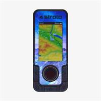
SkyDrop vario is small but powerful device offering wide range of functions. However we made it maximally intuitive, please read user manual and watch tutorial videos.
To display altitude above ground, you need to have terrain data loaded in your SkyDrop. We pre-load most flown areas during production. If you have an older device without pre-loaded terrain data, you can download this package here. If your area in not included, you can select and download terrain data and following how to guide. Red marked areas in map represent pre-loaded terrain dat.
SkyDrop vario has airspace violation warning functions. You can download airspace data here.
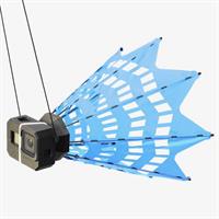
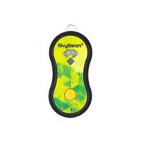
SkyBean Chase XC
Chase XC is the first truly fold-able chasecam!
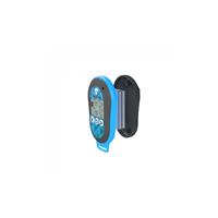
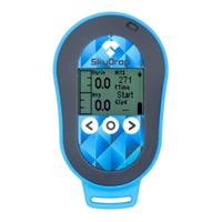
Battery kit för SkyDrop
Dubbel batteri uppgradering för SkyDrop vario.

Skärmflyg Österlen AB
Norråvägen 10
271 74 Glemmingebro
Tel: +46 (0)706-51 52 08
info@flygtandem.se
niklas@skärmflygösterlen.se
BG 5771-0188
Swich 123 685 02 18
Vat nr SE559387477801